Our Story - Revolutionising Software
Welcome to FireArrest, the app that makes compliance easy and stays one step ahead of fire risk assessment software. We’re dedicated to revolutionising the passive fire protection sector with a competitive, intuitive software solution that ensures safety and efficiency.
Born from the collective expertise of fire safety and tech professionals, FireArrest was conceived to address a critical need for better and smarter fire risk assessment software. Our journey from concept to leader in fire safety technology reflects our commitment to excellence and innovation.
Our mission is to provide cutting-edge, reliable solutions for passive fire protection. We value safety, innovation, and user-friendliness, committing to these principles with every update and every line of code in our products.
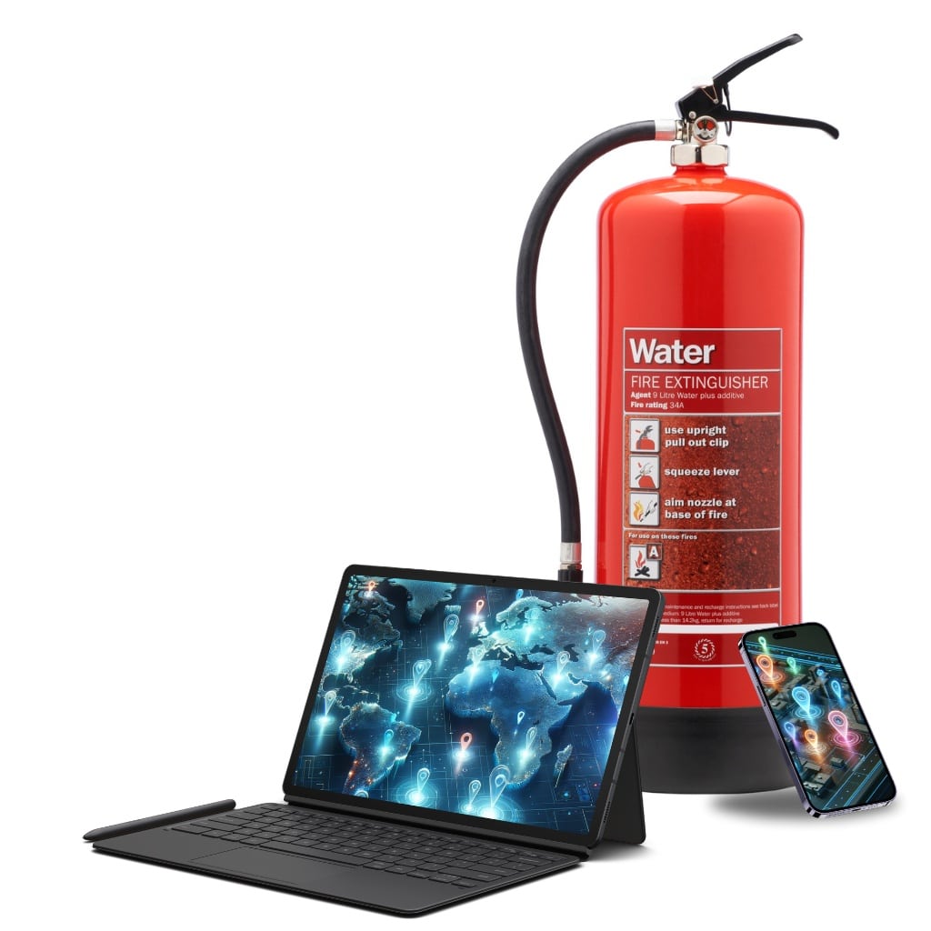
Before Fire Risk Assessment Software, There's FireArrest
Igniting Innovation, Safeguarding Futures: FireArrest ensures compliance before fire risk assessment software comes into play.




Interactive Digital Maps with a Global Document Library and Bespoke Reports
Effortlessly mark and comment on images for clear, precise communication and documentation of critical details.
Access, organise, and share important documents from a centralised, easily navigable library.
Track and manage costs efficiently with our integrated tools, enabling better budgeting and financial oversight.

Generate custom reports tailored to your specific needs, ensuring relevant, actionable insights for effective decision-making.
Navigate and interact with a dynamic map interface, enhancing situational awareness and strategic planning.
Secure and monitor areas with geo-fencing, creating virtual perimeters for enhanced control and alerts.
7 DAY FREE TRIAL - FREE App Download for iOS and Android
Dive into the world of advanced fire safety management with FireArrest, now available for free on both iOS and Android platforms. Begin your journey with a 7-day free trial of our full-featured product, experiencing the complete suite of tools designed to streamline and enhance your fire safety projects. Alternatively, opt for our forever-free freemium version, offering essential functionalities for those who need basic, yet effective fire protection solutions. Whether you’re looking for comprehensive support or just the essentials, FireArrest is your go-to app for managing fire safety efficiently and effectively. Download now and transform the way you handle fire safety management.
IOS
Find out what fire risk assessment software will say before it does with our iOS app. Download now from the App Store and elevate your fire protection strategy with intuitive features, live support and real-time updates.
Android
Get the power of FireArrest in the palm of your hand with our Android app. Click to download from Google Play and unlock a world of efficient fire risk assessment software tools tailored for your Android device.
The future of Fire Risk Assessment Software is Here
The future is FireArrest
Fire Risk Assessment Software
Partners
Trusted Globally by World-Class Businesses Who Want a Smarter Way to Do Fire Risk Assessment Software












OUR CLIENTS
Don't just take our word for it! FireArrest is one step ahead of fire risk assessment software
“We’ve used FireArrest since the very beginning of Bee Fire Protection Limited. We chose FireArrest because, right from the start, they were attentive and wanted to work on a package that suited our business needs. Once we tested the software, we were only too pleased to sign up for a yearly subscription—and we’ve renewed it every year since.”
“They listen to feedback and regularly update and improve the software to best serve their clients’ needs. The technical team’s support is second to none; whenever we’ve had an issue or challenge, they’ve responded the same day and resolved it within 24 hours.”
“The usability of the software is excellent—our field engineers find it easy to use, and the feedback is always positive. While we sometimes have to use other reporting tools tailored to our clients’ needs, and so have good knowledge of comparable options, FireArrest is always our preferred choice.”
ANDY BEACH
Managing Director – Bee Fire Protection


“We are a small independent company and have just started using Firearrest. I have had excellent customer service from Helen who is in sales but she isn’t the big sales sells. Super helpful and had a good laugh. Andrew helped with the technical stuff although there isn’t much technical as it’s very user-friendly. Highly recommend the product, staff and the business.”
KATIE JACKSON
Managing Director – Fireholt
“Over the past year, we have used FireArrest on many projects and have found the software easy to use, helping us to streamline our business and reporting process. Any support required has been handled well, impressing us with their response and willingness to help. We would recommend FireArrest if you are in the market for passive fire protection software.”
JOEL LATIMER
OWNER – Latimer Fire


